Re-typed copies of the letters (typed by Bobbi Lyons, 2010)
1. Letter from Conkling to the NSA
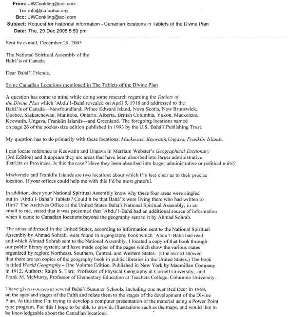
From: John Conkling
Subject: Request for historical information – Canadian locations in Tablets of the Divine Plan
Date: Thu, 29 Dec 2005
Sent by e-mail, December 29, 2005
The National Spiritual Assembly of the Bahá'ís of Canada
Dear Bahá'í Friends,
Some Canadian Locations mentioned in The Tablets of the Divine Plan
A question has come to mind while doing some research regarding the Tablets of the Divine Plan which `Abdu'l-Bahá revealed on April 5, 1916 and addressed to the Bahá'ís of Canada—Newfoundland, Prince Edward island, Nova Scotia, New Brunswick, Quebec, Saskatchewan, Manitoba, Ontario, Alberta, British Columbia, Yukon, Mackenzie, Keewatin, Ungava, Franklin Islands—and Greenland. The foregoing locations named on page 26 of the pocket-sized edition published in 1993 by the U.S. Bahá'í Publishing Trust.
My question has to do primarily with these locations: Mackenzie, Keewatin, Ungava, Franklin Islands.
I can locate reference to Keewatin and Ungava in Merriam Webster’s Geographical Dictionary (3rd Edition) and it appears they are areas that have been absorbed into larger administrative districts or Provinces. Is this the case? Have they been absorbed into larger administrative or political units?
Mackenzie and Franklin Islands are two locations about which I’m less clear as to their precise location. If your offices could help me with this I’d be most grateful.
In addition, does your National Spiritual Assembly know why these four areas were singled out in `Abdu'l-Bahá’s Tablets? Could it be that Bahá'ís were living there who had written to Him? The Archives Office at the United States Bahá'í National Spiritual Assembly, in an email to me, stated that it was presumed that `Abdu'l-Bahá had an additional source of information when it came to Canadian locations beyond the geography sent to it by Ahmad Sohrab.
The areas addressed in the United States, according to information sent to the National Spiritual Assembly by Ahmad Sohrab, were found in a geography book which `Abdu'l-Bahá had read and which Ahmad Sohrab sent to the National Assembly. I located a copy of that book through our public library system; and have made copies of the pages which show the various states organized by region: Northeast, Southern, Central, and Western States. (One record showed that there are ten copies of the geography book in public libraries in the United States.) The book is titled World Geography – One Volume Edition. Published in New York by Macmillan Company in 1912. Authors: Ralph S. Tarr, Professor of Physical geography at Cornell University, and Frank M. McMurry, Professor of Elementary Education at Teachers College, Columbia University.
I have given course at several Bahá'í Summer Schools, including one near Red Deer in 1968, on the ages and stages of the Faith and relate them to the stages of the development of the Divine Plan. At this time I’m trying to develop a computer presentation of the material using a Power Point type program. For this I hope to be able to provide illustrations such as the maps, and would like to be knowledgeable about the Canadian locations.
Your assistance in this matter will be greatly appreciated.
Yours truly,
John W. Conkling
2. Response from NSA to Conkling
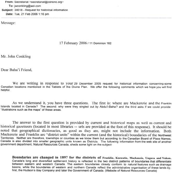
From: Secretariat at Canadian National Baha’i Centre
To: John Conkling
Subject: 34618 – Request for historical information
Date: Tue, 21 Feb 2006
Message:
17 February 2006 / 11 Dominion 162
Mr. John Conkling
Dear Bahá'í Friend,
We are writing in response to your 29 December 2005 request for historical information concerning some Canadian locations mentioned in the Tablets of the Divine Plan. We offer the following comments which we hope you will find helpful.
As we understand it, you have three questions. The first is: where are Mackenzie and the Franklin Islands located in Canada? The second: why were they singled out by `Abdu'l-Bahá? and the third asks if we could provide "illustrations such as the maps" of these areas.
The answer to the first question is provided by current and historical maps as well as current and historical gazetteers (located in most libraries — urls are provided at the foot of this response). It should be noted that geographical dictionaries, as god as they are, might not include the information. Both Mackenzie and Franklin are "district units" within the current (and the historical) boundaries of the Northwest territories. Neither are therefore, townships or counties as we know them but according to the Canadian Board of Place names, Canada is also divided into smaller geographic units known as Districts. The following information from the web site of another government department, Natural Resources Canada, sheds some light on the subject:
Boundaries are changed in 1897 for the districts of Franklin, Keewatin, Mackenzie, Ungava and Yukon.
Canada’s long and diversified settlement history is reflected in the two district patterns of boundaries that differentiate between eastern and western Canada. The eastern boundaries closely conform to natural features such as drainage basins, while the boundaries of western and northern Canada reflect the administrative organisation of these lands by, first, the Hudson’s Bay Company and later the Government of Canada. (Website of Natural Resources Canada)
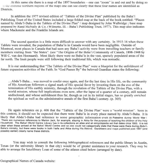
At this same site there is a map of the 1897 boundaries – one can "zoom" in and out and by doing so (in the extreme northern regions of the map) one can see clearly that these four names are identified as Districts.
In addition the 1977 revised edition of "Tablets of the Divine Plan" published by the Bahá'í Publishing Trust of the United States included a large folded map at the back of the book entitled: "Places named by Abdu'l-Bahá in the Tablets of the Divine Plan" / map designed by John Walbridge ; base map prepared by Rand McNally & Co. (Wilmette, Ill. : Bahá'í Publishing Trust, 1977). This map also indicates where Mackenzie and the Franklin Islands are.
The second question is a little more difficult to answer with any certainty. In 1915-16 when these Tablets were revealed, the population of Bahá'ís in Canada would have been negligible. Outside of Montreal, most places in Canada that had seen any Bahá'í activity were from travelling teachers or family members visiting from "the States". (see "The Origins of the Bahá'í Community of Canada, 1898-1948 by Will C. van den Hoonaard). Most likely there were no Bahá'ís in the vast, sparsely populated areas of the far north. The Inuit people were still following their traditional life, which was nomadic.
It is our understanding that "The Tablets of the Divine Plan" were a blueprint for the unfoldment of future expansion activities of the Faith. In "God Passes By" the beloved Guardian states the following:
... Abdu'l-Bahá ... was moved to confer once again, and for the last time in His life, on the community of His American followers a signal mark of His special favor by investing them on the eve of the termination of His earthly ministry, through the revelation of the Tablets of the Divine Plan, with a world mission, whose full implications even now, after the lapse of a quarter of a century, still remain undisclosed, and whose unfoldment thus far, though as yet in its initial stages, has so greatly enriched the spiritual as well as the administrative annals of the first Bahá'í century. (p. 305)
He again reiterates on p. 406 that the "Tablets of the Divine Plan" were a "world mission". Seen in this context, it should not be expected that there were Baha’is in every place named by Abdu'l-Bahá. It is likely that Abdu'l-Bahá had reference to some geographic information even in Palestine during World War I. There are numerous references to Marion jack, for example, staying in Akka for the purpose of teaching the children of the Holy Household. The Baha’i World Centre Library has in its collections an atlas and an encyclopedia set that dates circa 1900. it is not clear when these arrived at the Baha’i World Centre and so one could not categorically state that these were there during Abdu'l-Bahá’s ministry, but there were books in both Haifa and Akka during His lifetime. Gazetteers and maps published post 1897 (and possibly earlier) clearly name these districts.
You may wish to consult the following bibliographical references and the public library in Austin, Texas (or the university library in that city) would be of greater assistance to your research. They may be able to arrange for Interlibrary Loan of some of the atlases cited below (arranged by date).
Geographical Names of Canada website: http://gconamcs.nrcan.gc.ca/index_c.php [Note: as of 2010, that URL is defunct; try toponymes.rncan.gc.ca/site_e.php.]
Natural Resources Canada website: http://atlas.gc.ca/site/english/maps/historical/territorialevolution/1897
Illustrated atlas of the Dominion of Canada containing authentic and complete maps of all the provinces, the Northwest Territories and the island of Newfoundland. Toronto: H. Belden, 1881.
Atlas of Canada. Prepared under the direction of J.E. Chalifour. Ottawa : Department of the Interior, 1915.
Historical atlas of Canada. D. G. G. Kerr. Don Mills, Ont. : T. Nelson & Sons (Canada), 1975.
We hope these comments are useful.
Archives Department
Scans of the letters (scanned by John Conkling, 2006)
Click on each image for a full-size scan.
1. Letter from Conkling to the NSA

click for larger image

click for larger image
2. Response from NSA to Conkling

click for larger image

click for larger image

click for larger image
|
